** Update (3.24.20): ADCIRC Week has been transitioned to a virtual format for 2020. See more at https://bit.ly/2Uf94EC. **
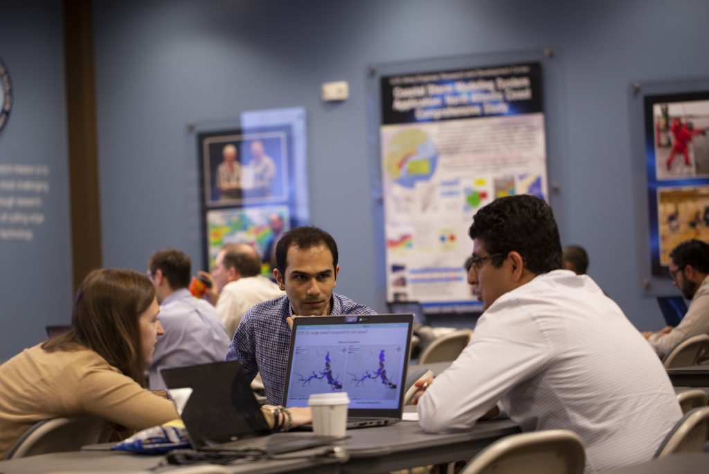
Coastal modelers and decision-makers will gather next month to share experiences with and discuss the latest developments on work with the ADCIRC model, and will have a chance to learn about the model and its uses from scratch.
The 2020 ADCIRC Week will be held from March 30-April 3, 2020, at The Water Campus’s Center for Coastal and Deltaic Studies in Baton Rouge, La. The Week includes a two-day Users Group Meeting, followed by a three-day Boot Camp training event. The event is sponsored by Louisiana Sea Grant, Louisiana State University, The Water Institute and the Coastal Resilience Center.
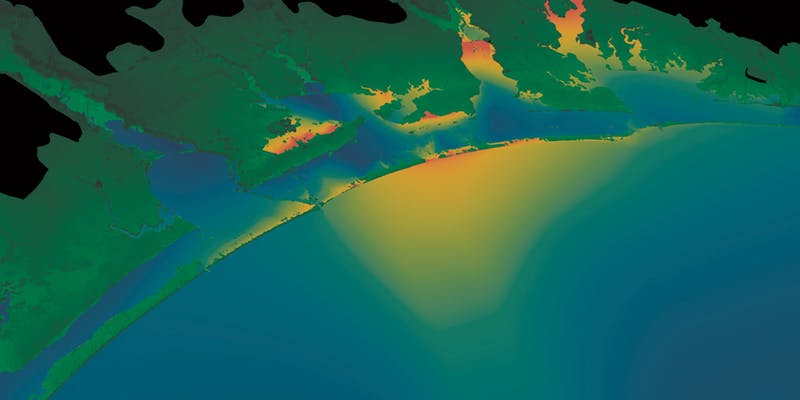
ADCIRC, a computer model that is part of ADCIRC Prediction System™ (APS™) work led by the Coastal Resilience Center, provides decision support for hazards like storm inundation during tropical and extratropical cyclones. More about APS™ can be found at adcircprediction.org.
The two-day Users Group Meeting (UGM) is an informal gathering that allows ADCIRC users to discuss shared experiences with the model and helps advance knowledge and skills in developing and implementing the tool. Topics include compound flooding calculations, model development, novel applications and real-time forecasting. Attendees can register for a 20-minute presentation slot through March 1, 2020.
The Boot Camp on April 1-3 will cover the basics of ADCIRC input files, output files and the detailed functioning of the ADCIRC code. It is helpful for newcomers who will make their own models, and is also valuable for ADCIRC analysts with some experience to learn how to go deeper into the meaning behind each model parameter. The presentation style will be a mix of lecture, demonstration, and interactive discussion.
The three-day training event is organized by Dr. Jason Fleming of Seahorse Coastal Consulting, who leads a Coastal Resilience Center project.
Academic discounts will be provided at request. For more information, visit the registration website.

About the ADCIRC™ Prediction System
The ADCIRC Prediction System™ (APS™) provides timely, high-resolution information on coastal storm surge, flooding and winds to emergency responders, federal, state and local leaders and the general public. APS™ uses the ADCIRC storm surge model on high-performance computers to generate storm forecast guidance and can provide end users with customized data for geographic areas of particular concern. A sophisticated web portal (Coastal Emergency Risks Assessment or CERA) has been developed to provide convenient visualizations of these results.
APS™ data have been used by multiple federal and state agencies to help predict flooding associated with storm surge. The U.S. Army Corps of Engineers, the National Oceanic and Atmospheric Administration, the U.S. Coast Guard, the Federal Emergency Management Agency and the Texas Department of Emergency Management are among the agencies that factor ADCIRC modeling into their operations. At the local level, results are shared with coastal emergency managers to assist with decision-making, including road closings, evacuations and search and rescue operations.
